City Stadum
Newcastle upon Tyne
6 lane cinder track in Newcastle Upon Tyne, Tyne & Wear
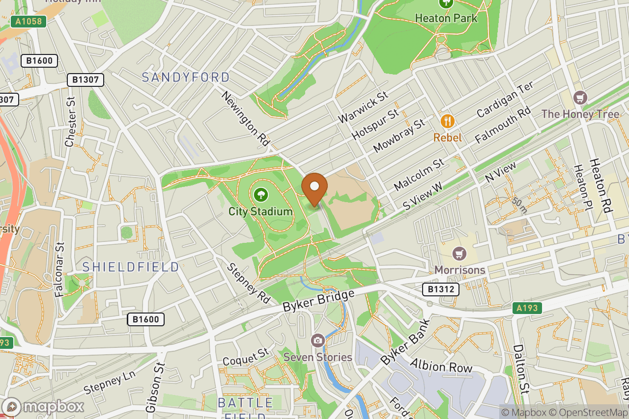
Athletics and running track in Newcastle Upon Tyne
City Stadum serves runners, clubs and schools around Newcastle Upon Tyne, Tyne & Wear. You'll find it at Newington Road, Newcastle Upon Tyne. It's listed as publicly accessible. No club is currently listed as training here. If you know of one, you can add it from this page. No floodlighting is recorded here, so plan winter sessions for daylight. Facilities, lane count, surface and charges are all listed below, along with any upcoming events, so you can work out whether it suits the session you have in mind before travelling.
Listing last updated . Something out of date? Suggest a change.
Photos of City Stadum

No photos of Newcastle upon Tyne yet. Be the first to add one.
Log in to add oneOpening times, charges and contact details
33% completeMissing a photo, a what3words address, a website, a postcode. Log in to help fill it in.
Facilities at City Stadum
None - pit has been filled in
None
None
More about City Stadum
The track was built by Newcastle City Council on what was derelict ground in the late 1950s or early 60s. It was originally intended to have a banked cycling track as well but these plans fell through. The banks are still there and must have been great for spectators. Open meetings were held here throughout the 60s and early 70s. It was also known as Ouseburn Stadium as the Ouse Burn which is a tributary of the River Tyne flows deep below the stadium in a culvert built in 1906/08. The council had great ambitions for the stadium and originally built turnstiles, but no perimeter fence which was always a standing joke in the local community. It had a small wooden building with two changing rooms but this has been demolished. The site was not big enough for a more ambitious development and fell into disuse after the track at the Lightfoot Stadium a few miles away was built. The track is now in very poor condition but is still used by joggers, kids on bikes and the occasional stolen motorcycle. The field facilities are all unusable. The infield is a grass football pitch.
Common questions about City Stadum
Can anyone use City Stadum?
Yes. City Stadum in Newcastle Upon Tyne is listed as a public running track, so anyone can turn up and use it, and it's recorded as open all the time.
When is City Stadum open?
City Stadum in Newcastle Upon Tyne is recorded as open all the time.
Is City Stadum free to use?
There's no charge recorded for using City Stadum in Newcastle Upon Tyne.
What surface is City Stadum, and how many lanes does it have?
City Stadum in Newcastle Upon Tyne is a 400m cinder running track with 6 lanes.
Does City Stadum have floodlights?
Not as far as we know. City Stadum in Newcastle Upon Tyne has no floodlighting recorded, so plan winter sessions for daylight.
Does City Stadum have changing rooms?
Not as far as we know. No changing facilities are recorded at City Stadum in Newcastle Upon Tyne.
Where is City Stadum?
City Stadum is at Newington Road, Newcastle Upon Tyne.
What other running tracks are near City Stadum?
The nearest other running tracks to City Stadum in Newcastle Upon Tyne are North West Region of English Institute of Sport Indoor Track in Gateshead (1.3 miles), Gateshead International Stadium in Gateshead (1.3 miles) and Gateshead International Stadium Indoor Track in Gateshead (1.3 miles).
Suggest an edit
Spotted something out of date - opening times, charges, facilities? Suggest a correction and a track admin will review it.